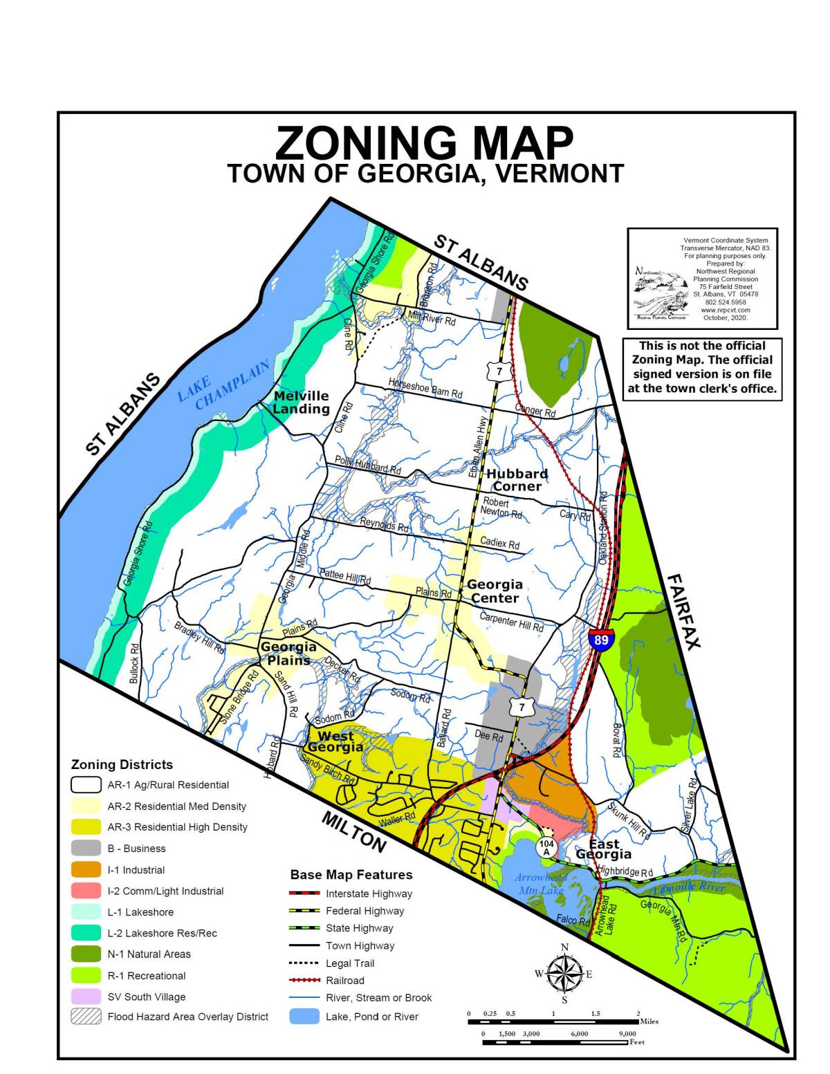
Overview
The link brings you to an interactive mapping page that allows individuals to identify:
- Zoning districts of parcels
- Inactive Parcels / Approved Building lots
- Data searchable as well as street address
- Potential adjacent property owners
- Parcel Tax ID
Additionally, there is a measuring tool, the ability to share, save locations, and other features. For the most current grand list information, please contact the Town Office.
Disclaimer: This map is for listing and assessment purposes only. It is not to be used for description or conveyance. Official data must be obtained from the town office.